


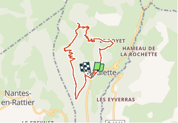

13.1 km | 27 km-effort

User


FREE GPS app for hiking
 SityTrail
IGN / Geographical institutes
SityTrail World
The world is yours!
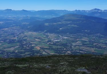
Trail Walking of 9.1 km to be discovered at Auvergne-Rhône-Alpes, Isère, La Valette. This trail is proposed by Emelle.
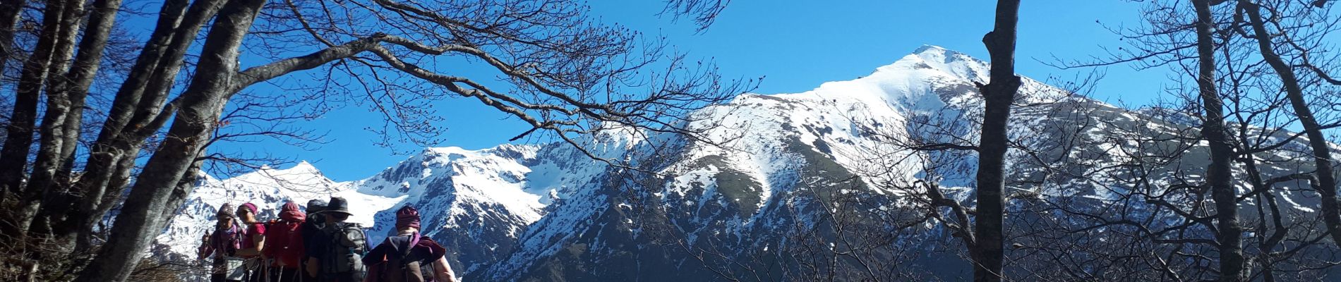
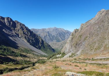
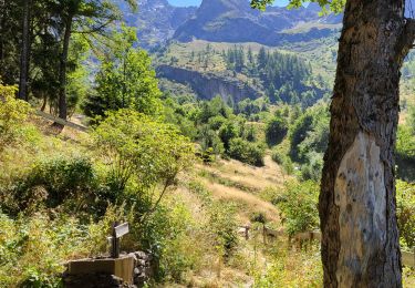
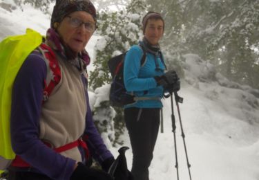
Belle randonnée à faire pas trop tard en saison (versant sud qui peut être chaud !) On a trouvé quelques névés (mous) surtout sur la descente dans certaines combes moins bien exposées.


Walking

Walking
Walking
Walking
Walking
Touring skiing
Touring skiing
Walking
Walking